Subcontracted surveying support across Western Australia

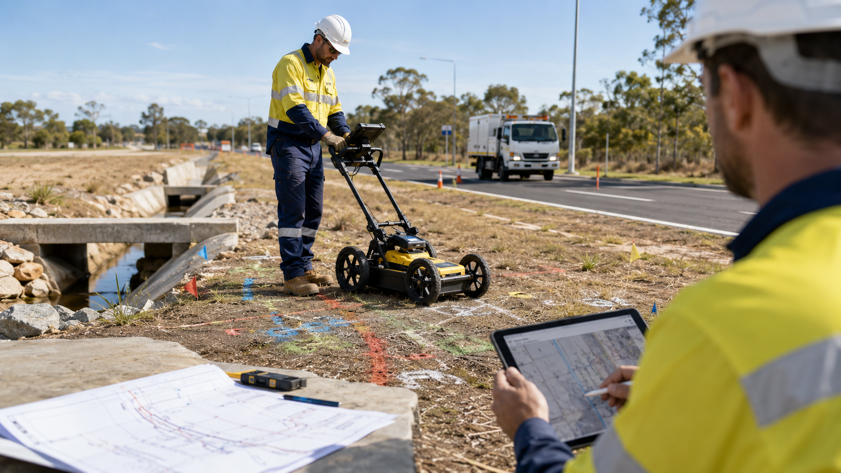
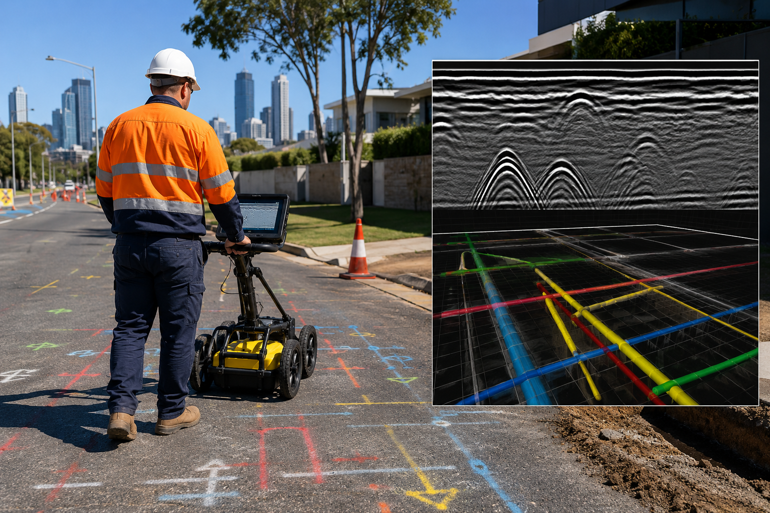
WA Mapping provides utility surveying, drafting and 3D modelling for service locating projects that are required to be captured and delivered in digital files.

Our subcontracted service is suited to organisations that need locating expertise as part of a broader survey, engineering, or design scope. WA Mapping can coordinate with your project methodology, site contacts, and reporting requirements while maintaining clear responsibility for the locating component.
Who we support

  • Surveying practices
  • Civil and infrastructure consultants
  • Engineering teams
  • Utility design specialists
  • Local government project teams
  • Mining and resources consultants

Speak with the team about subcontracted surveying and locating support across Western Australia.

Complementary services

Build WA Mapping into your project scope

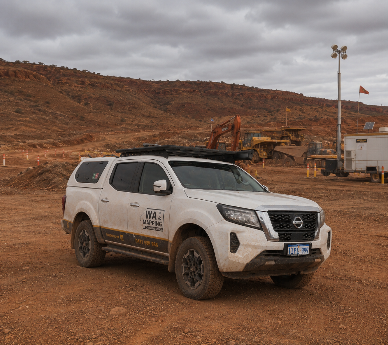
Support across metropolitan and regional WA

WA Mapping works across Rockingham, Perth, the Pilbara, the Goldfields, the South West, and other regional areas.